2004 Trip Reports & Pictures
July
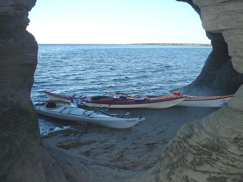
July 7 - Circumnavigate Cocagne Island
After being rained out two weeks on a row, this was a major change.
An ideal evening for paddling - tides were ideal, wind and temperature was ideal, seas were calm. OK, it was a nice evening to circumnavigate Cocagne Island.
Seven showed up for the paddle, consisting of existing club members, and new friends.
It was a leisurely paddle of 12.7km, stopping and poking around the island. A couple even decided to brush-up on their rolls.
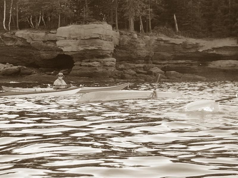

July 14 - Petit Cap
It wasn't an ideal evening, but seven of us showed up for an outing.
The 25-30kph winds were pushing waves of about 1-meter down the length of the Northumberland Straits, and there was no place to hide. So we didn't.
The waves were far enough apart, and regular enough that even novices had no problems with them. On the downwind side of the trip, I did clock speeds of 12kph on my GPS - surfing. The wind was tiring, and by the time it started to recede, some of us older folks had had enough. A couple of the youngins' decided to stay and play for another hour-or-so though, since it was a warm evening, and the water was also warm.
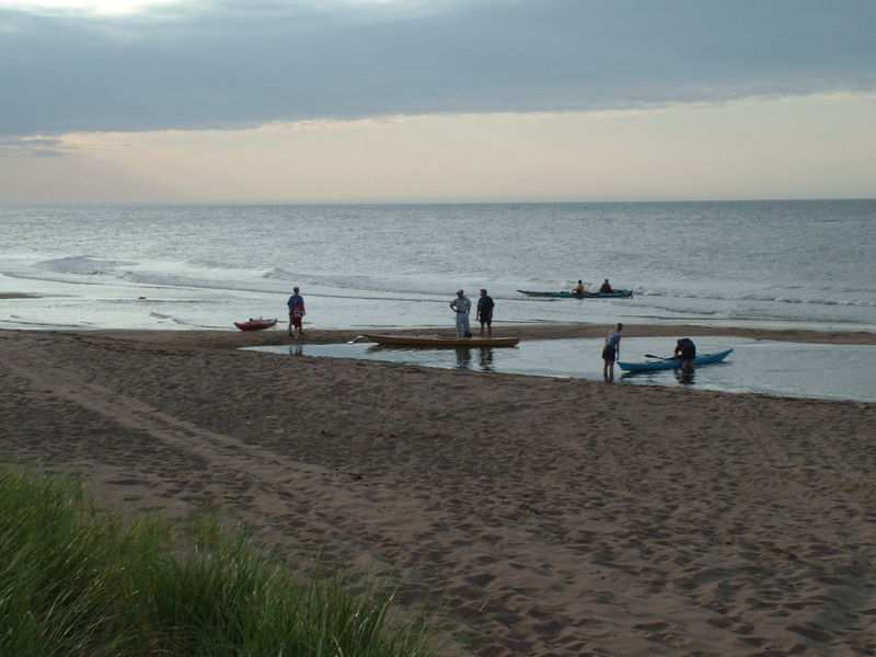

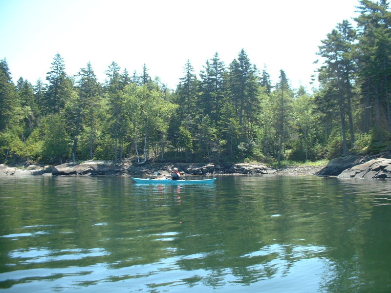
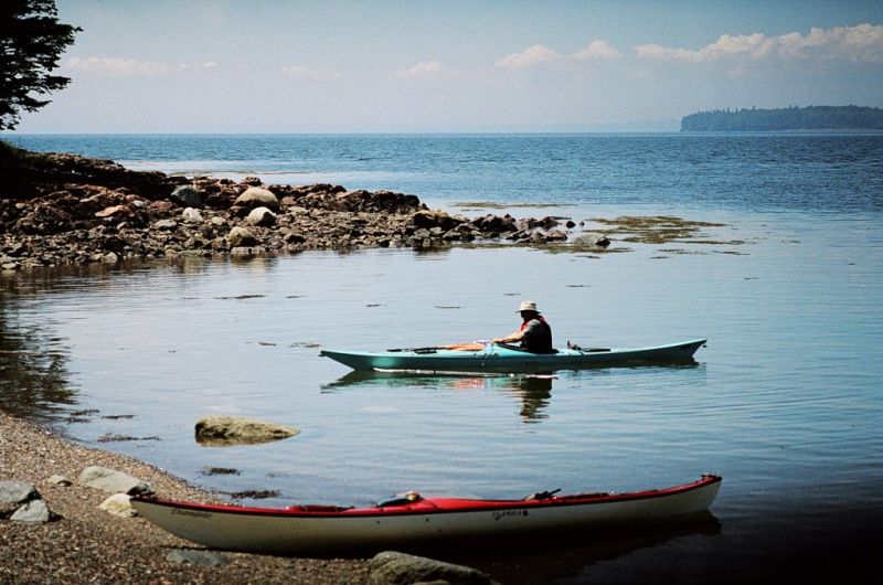
July 17 - Deer Island Weekend changed to Oven Head Day Paddle
The original planned paddle/weekend at Deer Island was changed somewhat, at the last minute I'm afraid. The forecast for the Island was for fog and rain. Don and I decided to do a variation, and hit another one of the spots where I used to SCUBA dive - Oven Head.
As we drove through Rothesay, Saint John and the other coastal cities, things weren't looking good - as a mater of fact, as we crossed the bridge in Saint John, you couldn't see the water through the fog. As we moved inland, the fog lifted, as we moved closer to the water, it once again appeared.
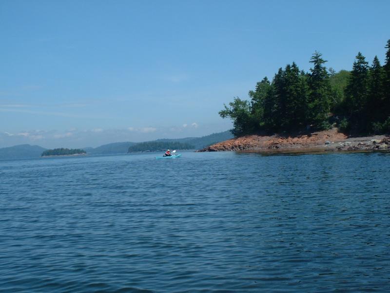
Anyway, we got to Oven Head (turn left at Bethel - the intersection of Hwy 790 - about 10km past St George), and visibility was about a half-kilometre in the fog. The water was calm, but you couldn't see much. I had pre-loaded the track I wanted to take into my GPS, which was out to some islands about 1-km off shore, so as we rounded the point, we headed out. As expected, there were salmon cages out there, and while we couldn't see them, we could hear them.
About half way there, after about 4-minutes of paddling, we could see the outline of the island through the fog. Another 4-minutes put us almost at the island, and when we looked back, the fog was lifting, and we could clearly make out the shore. The winds were light, at about 5kph, and work was not in the plans.
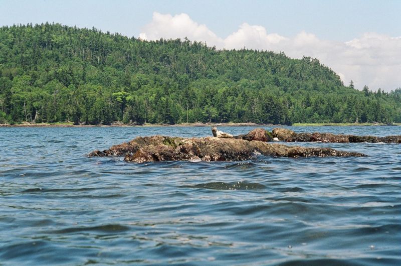
There's 10 little uninhabited islands out here, and we basically paddled around or by all of them on our little 14.8km - 3-hour excursion. Our longest stretches between islands was about 1km, and it's not the open Bay of Fundy, but rather the smaller Passamaquoddy Bay. Eagles everywhere, and cranes (or herons), ducks, cormorants, gulls, kingfishers, and other birdies. There was also a young seal sunning itself on the rocks that we were able to get quite close to (speaking of sunning, I sunburned my arms - dumb).
By the end of the paddle, the wind had picked up to double it was when we started (12kph), and the waves were building up to a mountainous 20cm in height. We started about 1.5-hours before high-tide, and ended about 1.5-hours after high-tide. A good day, good paddle - too bad it wasn't closer.

![]()
![]()