2006 Trip Reports & Pictures
August
August 02 - Circumnavigate Shediac Island
The usual five showed up for the evening paddle. High-tide was just about perfect, and the wind was blowing from the North-West at about 30kph (which dropped to half that within a half-hour), so we paddled the island in a counter-clockwise direction for a change, running with the wind for the first leg. Because of the tides, we were able to get into places not normally accessible, which provided a breather. Fun paddle.


August 09 - Bourgeois / Caissie Cape Government Wharf
The usual 5 turned out for this relaxing paddle. We didn’t go far, basically just tooled around for a couple of hours, covering about 8km. Very relaxing.


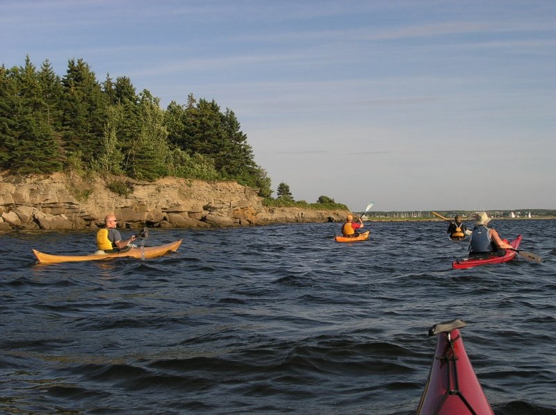
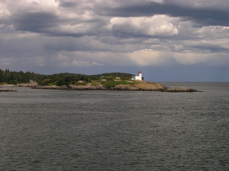
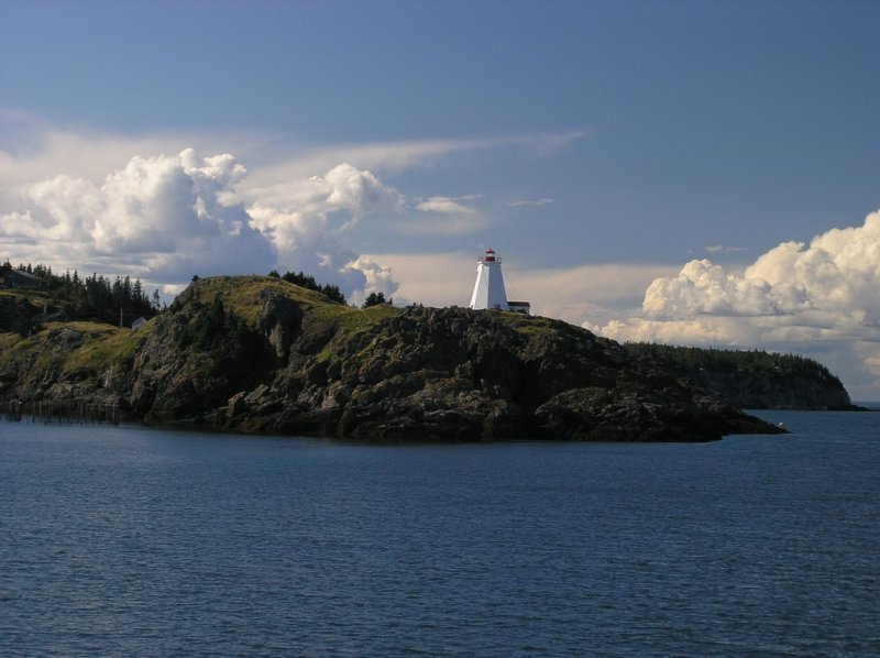
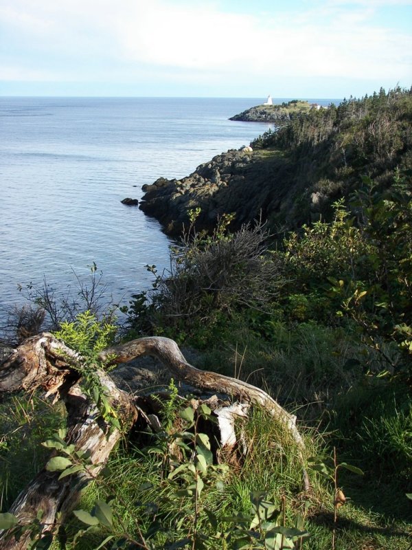
August 12/13/14 – Grand Manan
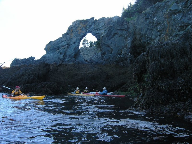
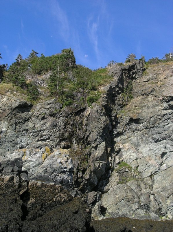
You couldn’t have asked for better weather. Bright sunny mornings and afternoons, passing evening clouds and clear sky nights, perfect for viewing the Perseid Meteor Shower. The cliff edge sites at the Hole-in-the-Wall campsite are breathtaking in their views. The only location we would have liked to spend some time photographing is the dramatic cliffs at the Southwest Head lighthouse – both attempts to visit in the late afternoon were met by rain. Just out of Blacks Harbour while on the ferry, on both the passages we spotted whales and porposes, however while in the kayaks, seals was the best we could do.
As for a paddling location, the cold clear waters, the dramatic tides and the cliffs make for a great location. Winds and currents can complicate things, but that only adds to the excitement.
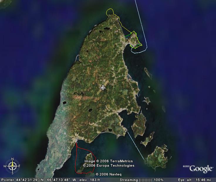
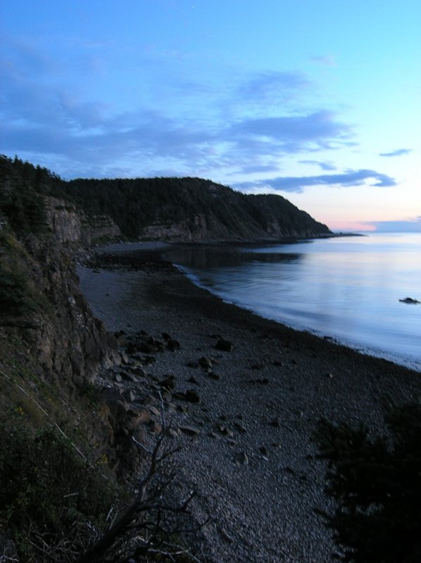
Our Saturday paddle was from just southwest of The Whistle lighthouse (Long Eddy Point). There is a beach launch, used by dulse rakers, and it proves an ideal location for access to that corner of the island. The only drawback is that a very short distance from that location is a very strong and very large rip tide. Looking at it from shore, it looked like we could paddle out around it. We were surprised to be heading away from shore at almost 12kph, which in a kayak is scooting right along. Unfortunately, the tidal area kept growing, and before long we accepted defeat and turned around and went through it – not as bad as it looked actually. I recorded a maximum speed of 12.4kph while passing through. The rest of the paddle was leisurely and beautiful.
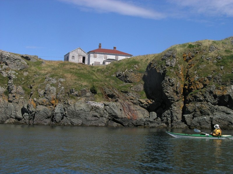
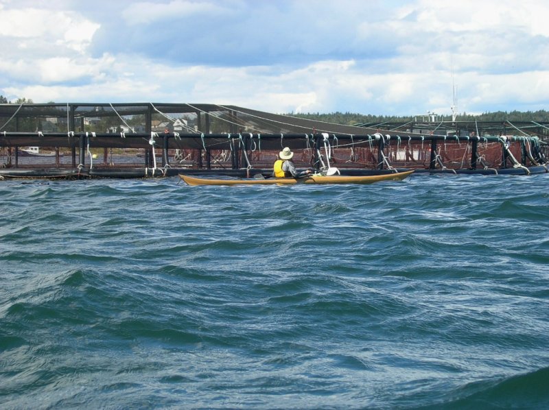
Our Sunday paddle was around Wood Island, out of Seal Cove. After exploring the salmon cage site in the cove, we proceeded to paddle around Wood Island. The terrain is different on the out islands than that of the main rock in that you have beaches and trees as opposed to cliffs. The sea life in the shallows is also different. We paddled in a clockwise direction so we could take advantage of the prevailing winds on the return leg of the trip.
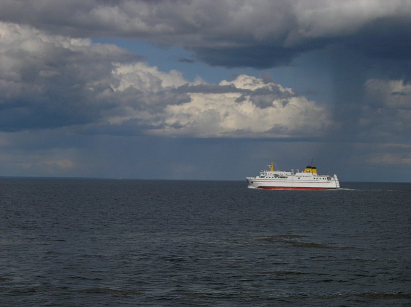
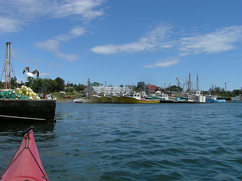
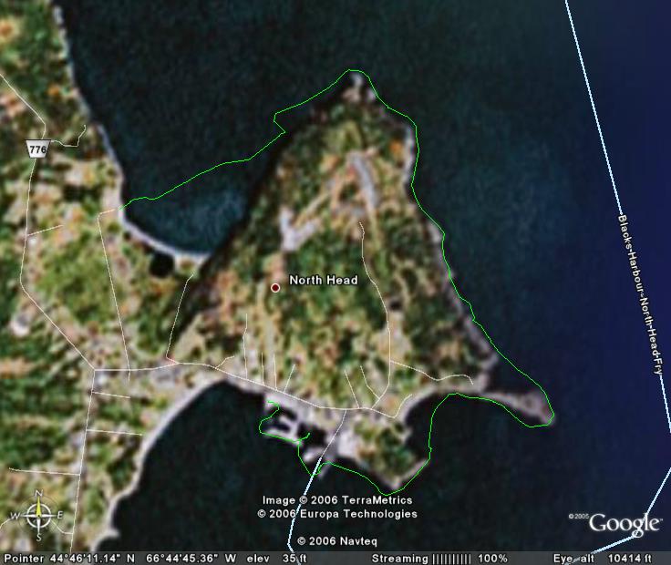
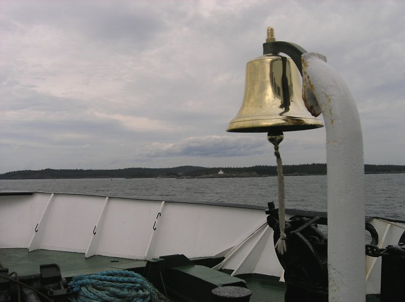
The Monday paddle was a shortened paddle, due to a desire to arrive home in Moncton at a reasonable time. We put in at Whale Cove on the North end, and paddled to North Head, arriving at the same time as the ferry, Grand Manan V – big sucker from the water, but we were in the shelter of a breakwater when it passed, so we received no wake.


![]()
![]()